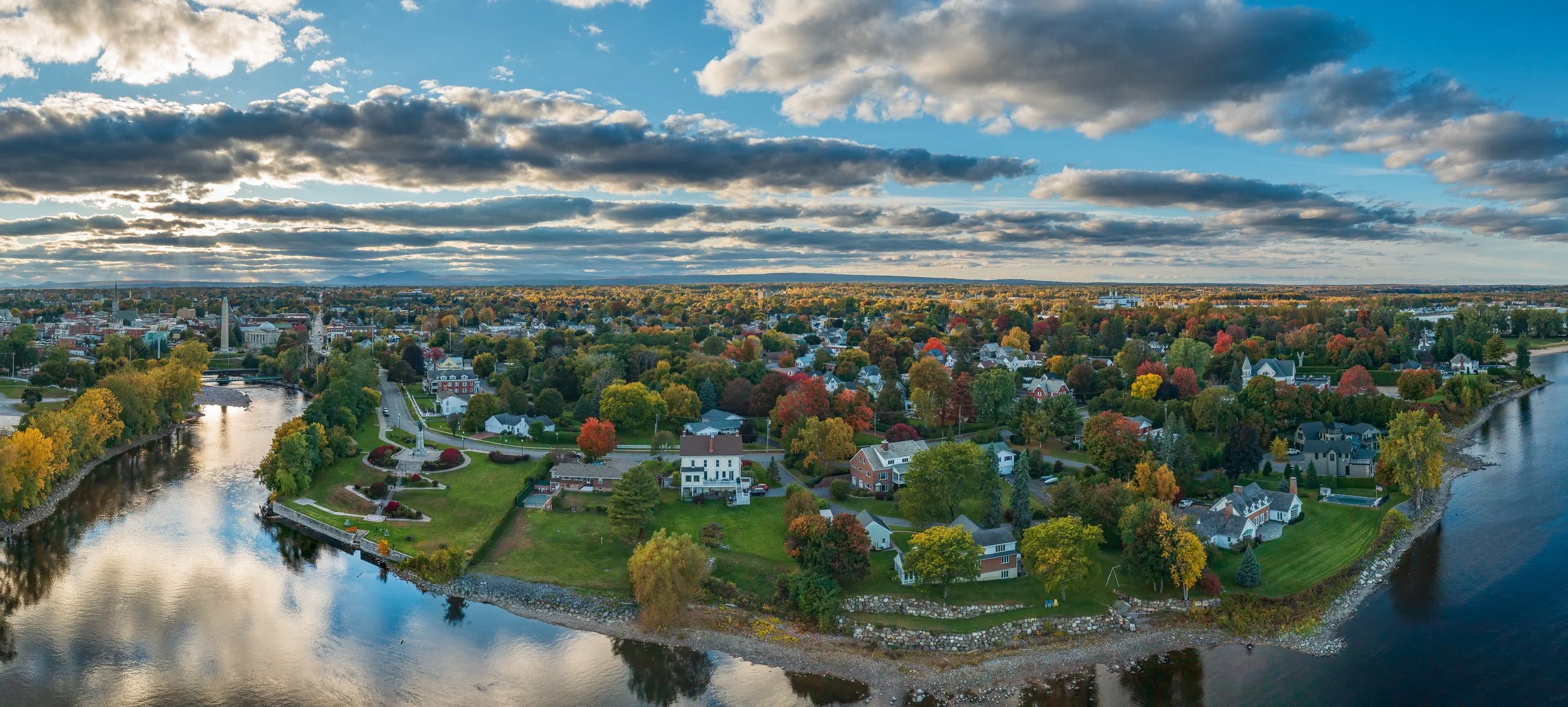
Clinton County
Countywide Resilience Plan
Understanding climate impacts and coordinating resources and long-term planning efforts to improve the resiliency of the County.
The Importance of a Countywide Approach
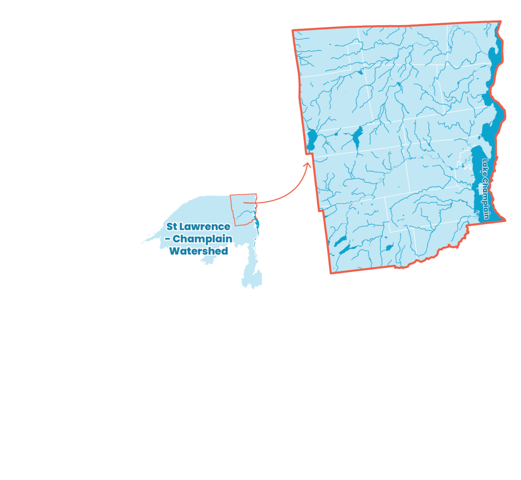
Climate impacts and weather events do not exist in isolation. Neither do natural systems or the economy. Extreme weather impacts large-scale, interconnected systems that are not constrained by municipal boundaries, like watersheds, for example, or roadways. Because of this, planning for climate resilience requires a regional perspective.
That’s why this Plan takes a countywide approach. It recognizes the interconnected systems and scales that extreme weather will impact and emphasizes the need for coordinated action at both the county and local levels to build resilience.
We want to hear from you!
Use the interactive map below to share where you have experienced the effects of extreme weather or climate hazards in Clinton County.
Use the interactive map to share where you experience:
Flooding
Extreme Winter Weather
Extreme Heat
Erosion
Ice Jams
High Winds
Other
To add a point to the map, either double click on the location where you'd like to add the point or click the "Add Point" button on the right side of the map to search for a location. To share or interact with the map in full screen mode, please visit:https://map.proxi.co/r/ResilientClintonCounty